My Surveying Direct: LiDAR scanners, enterprise drones, GNSS receivers and survey instruments from leading brands

Purchase orders
accepted
W-9, vendor pack, sole source language and tax exemption arrive with the quote, not three emails later.







The lines we go deep on
DJI Enterprise
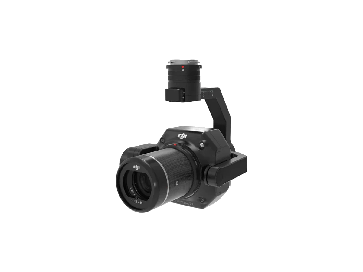
Matrice drones and Zenmuse payloads, with the docks, batteries and RTK base stations that go with them. The L3 and P1 sit here.
See the collection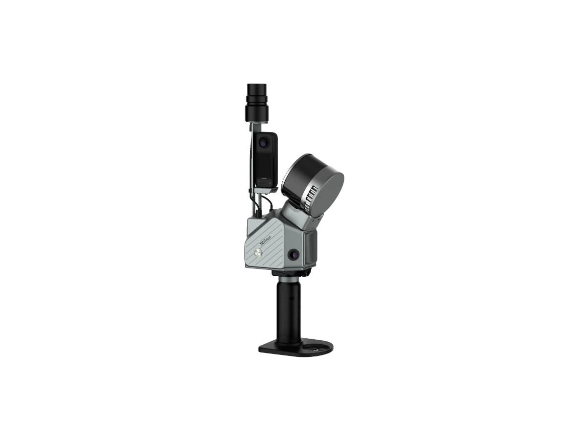
FJ Dynamics
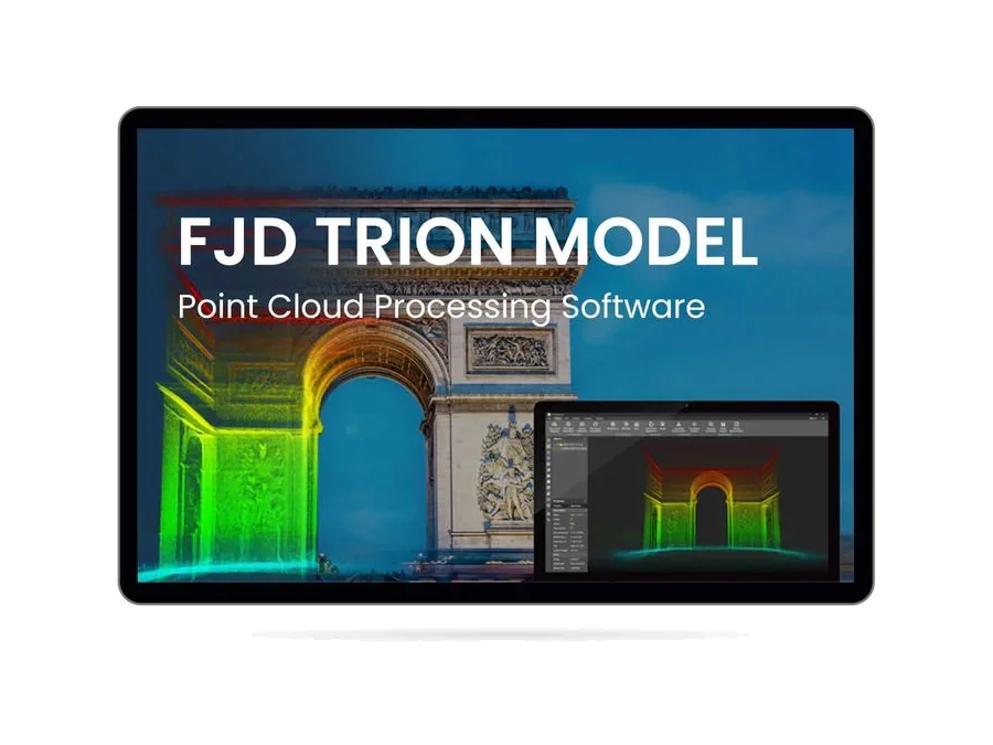
Trion handheld SLAM scanners and RTK receivers. Walk the site and carry the coordinates out with you, indoors or out.
See the collection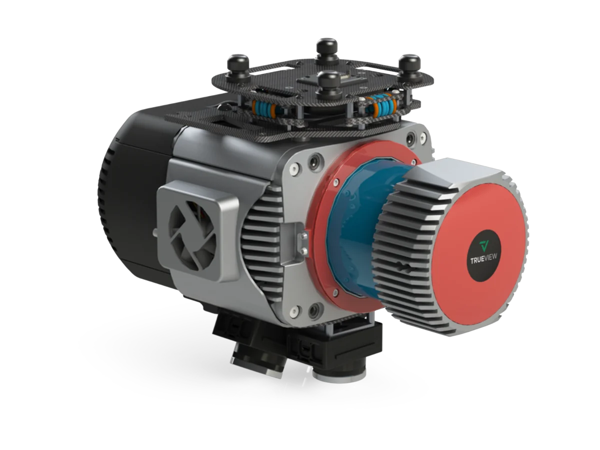
GeoCue
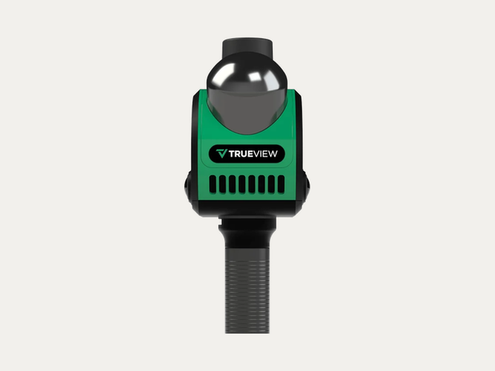
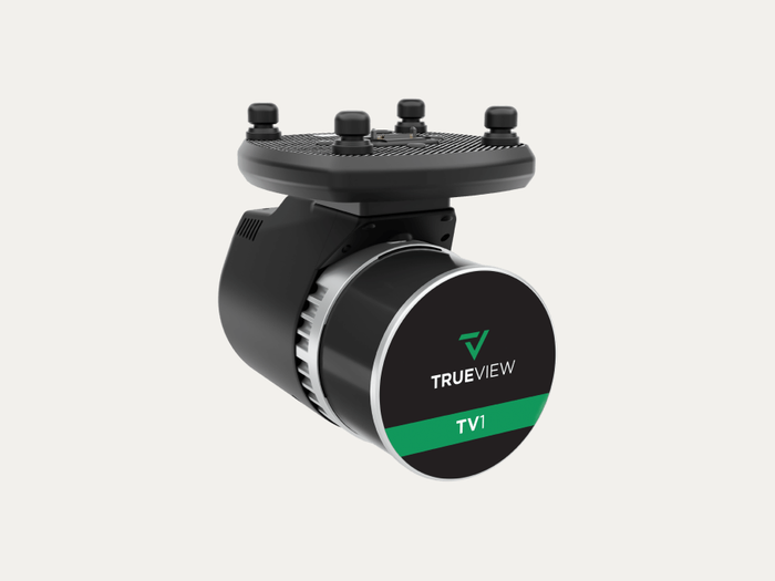
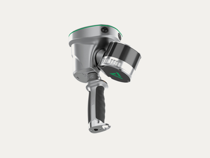
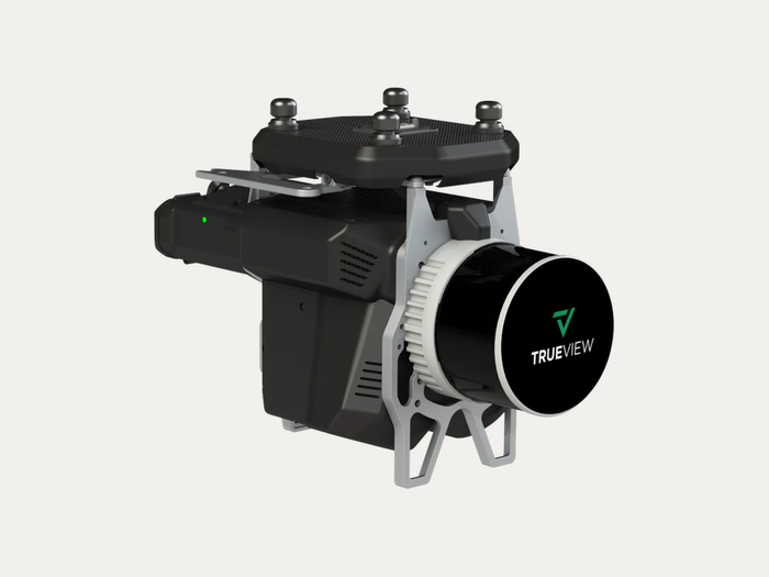
TrueView drone LiDAR and imaging payloads, from the GO NEO handheld through the TrueView 1 series, with the processing licenses alongside.
See the collection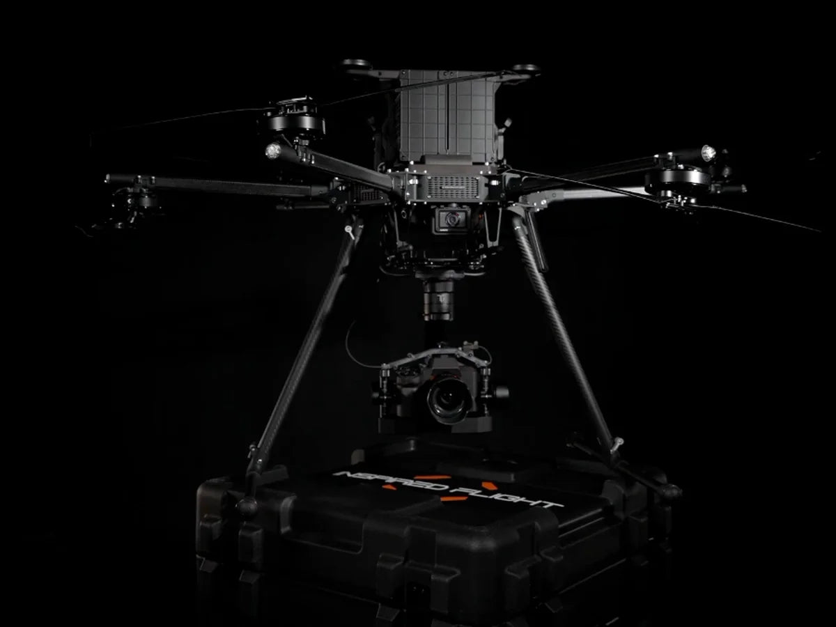
Inspired Flight
American built heavy lift. The IF1200 and the IF800 Tomcat, both NDAA compliant, for payloads other drones will not carry.
See the collectionShop by brand
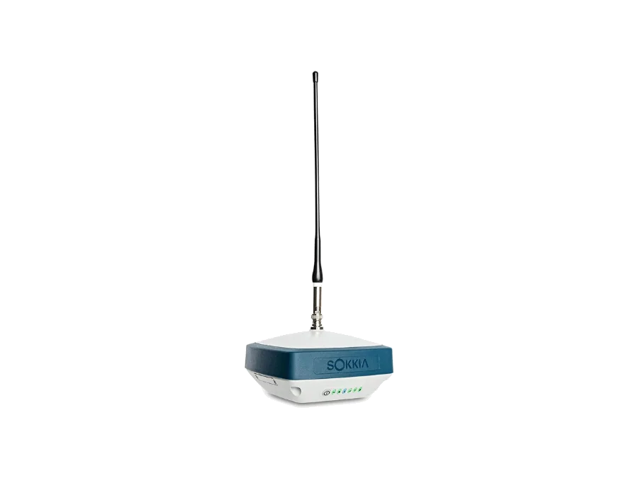
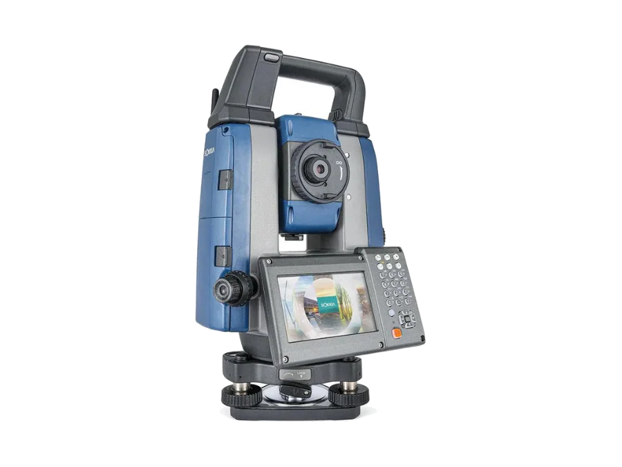
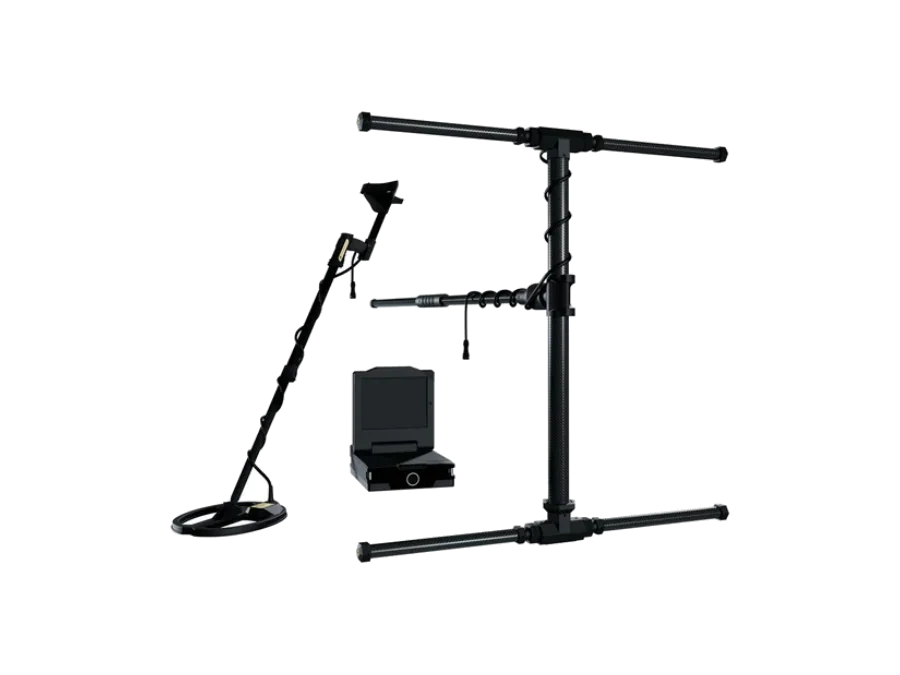
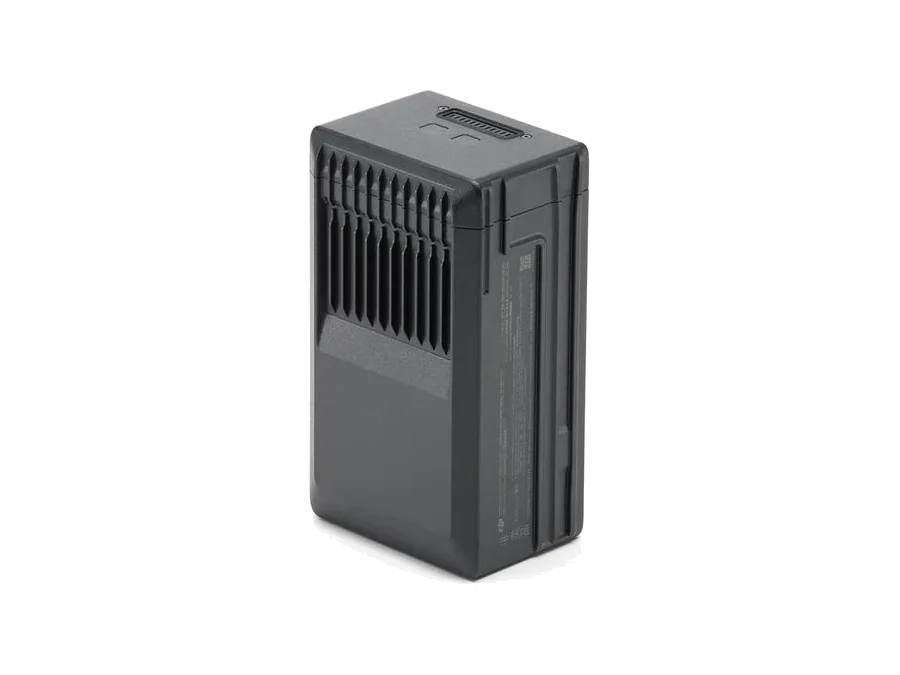
Star instruments, by brand
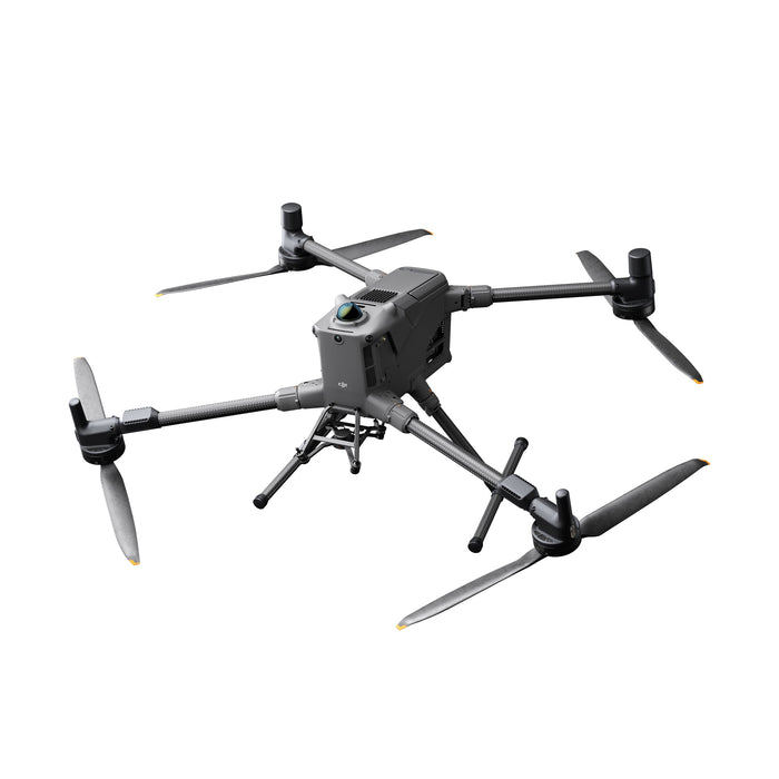
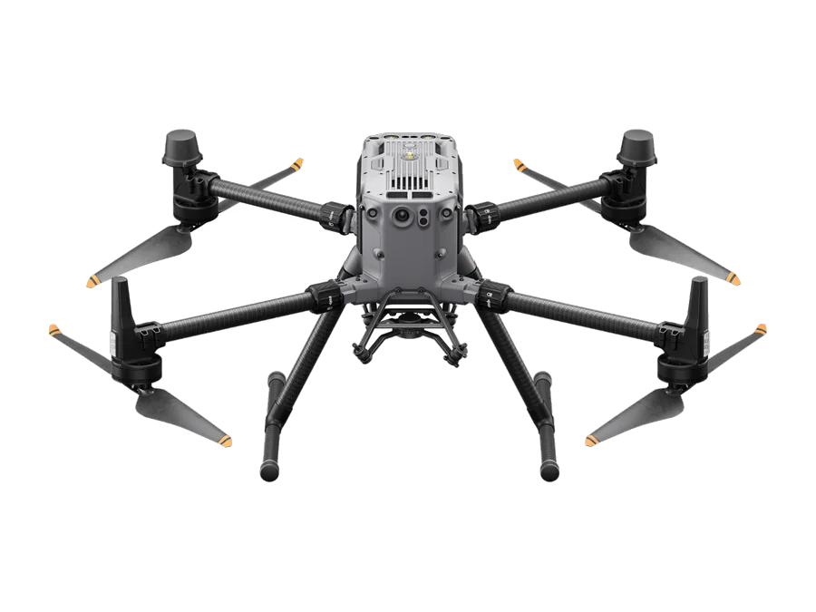
DJI Matrice 400 Enterprise Drone
$10,300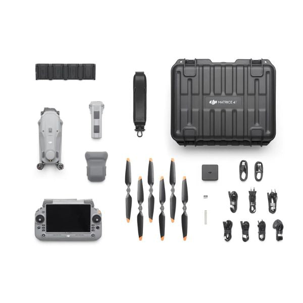
DJI Matrice 4T Drone
$7,099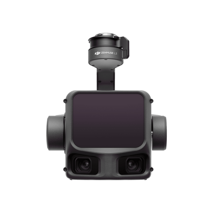
DJI Zenmuse L3 LiDAR Payload
$17,400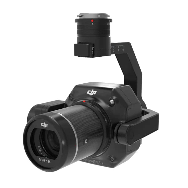
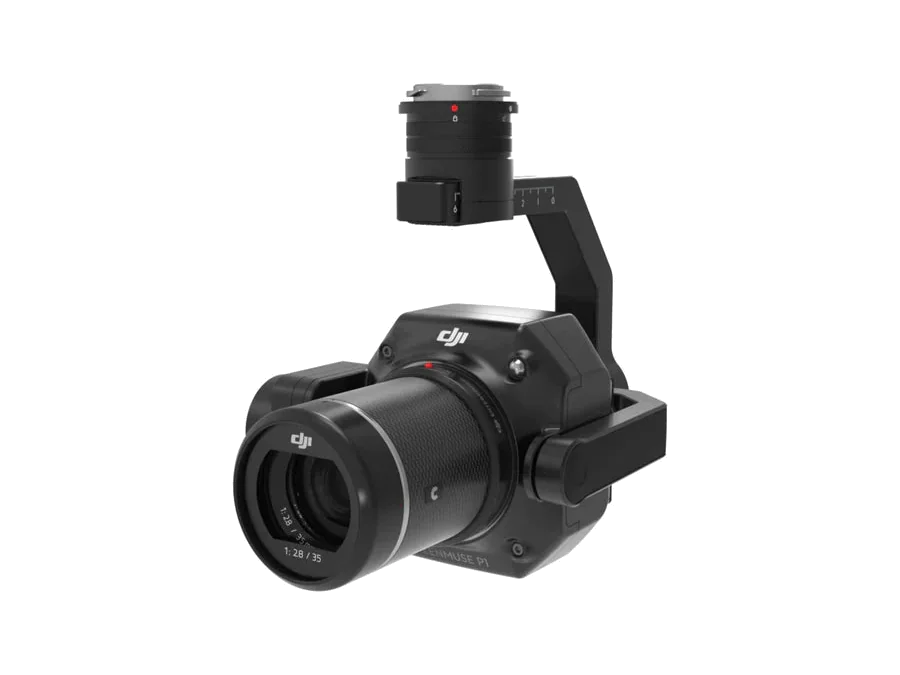
DJI Zenmuse P1 Payload
$7,230The drones that carry the sensors
Matrice 400 and the Matrice 4 series, flying the Zenmuse L3 and P1. RTK positioning, accuracy figures published with their test conditions, and the docks and base stations that make a repeat flight routine rather than a project.
See the DJI range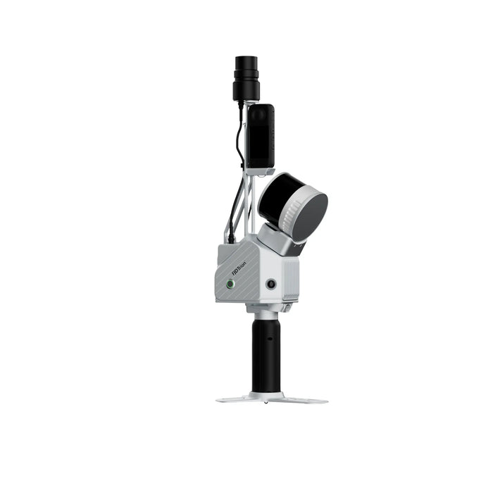
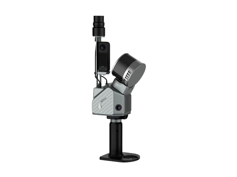
FJ Dynamics Trion S2 Portable 3D LiDAR Scanner
$18,999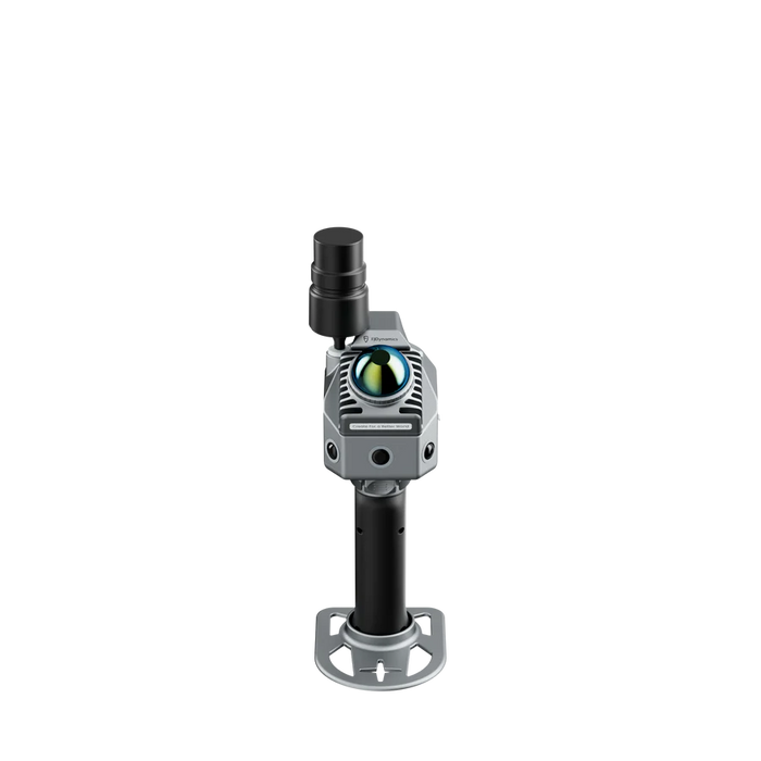
FJ Dynamics Trion P2 Handheld LiDAR Scanner
$9,999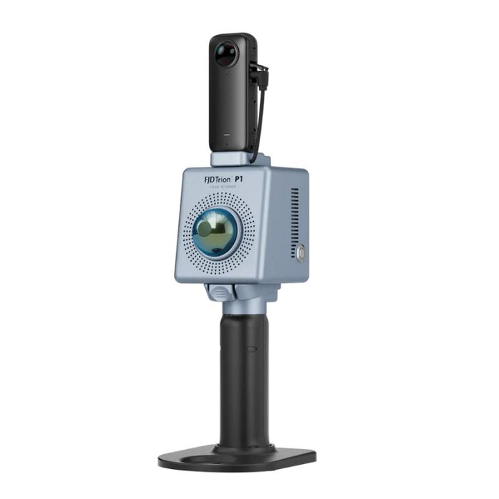
FJ Dynamics Trion P1 3D Handheld LiDAR Scanner
$8,499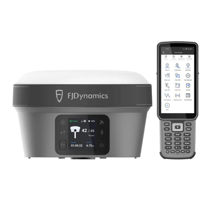
FJ Dynamics Trion V10i RTK GNSS Receiver with Visual Positioning System
$6,599Walk the site, keep the geometry
The Trion scanners build the cloud as you move. No tripod, no setup between stations, and no GNSS needed where there is none to be had. RTK and PPK come in on the surface when you want the cloud georeferenced.
Judge the output, not the brochure. Every point cloud on this site came off an instrument we sell. No renders posing as scans, no borrowed datasets.
Complete systems
Drone, sensor, software and training quoted as one line.

Matrice 400 plus Zenmuse L3, quoted as one line.
The drone, the sensor, the gimbal connector and the D-RTK 3 base station the accuracy figures are actually quoted against. The L3 fits the Matrice 400 and nothing else, so buying it as four separate lines is how people end up with a payload their aircraft cannot carry.

An instrument in every pair of hands.
One Trion S2 Max for georeferenced research work plus eight Trion P2 for the teaching fleet. One requisition, one purchase order.
Built for the person who has to approve it
Universities, colleges and public agencies buy on a requisition, not a card. So the paperwork arrives with the quote rather than after three emails, and the quote stays valid long enough to clear a committee.
- W-9, signed and current
- Vendor pack, with our entity and remittance details
- Sole source language where the specification needs it
- Tax exemption handled on the order, not after it
- Formal quote by the next working day
- 90 days of validity, covering a requisition cycle